Recently completed, open or planned surveys and activities
Between Rowallan and Fisher power stations in the upper reaches of the Mersey River, we manage a transmission line that runs through Sustainable Timber Tasmania land. The line follows a glacial valley formed below the northern tip of the Central Plateau which contains several small marshes and glacial till deposits. Surveys in the 1980s and '90s revealed a number of small artefact sites.
We recently completed some routine surveys ahead of upgrading tracks used to access the transmission line and discovered 6 new artefacts, including one that had unfortunately sustained damage. This discovery led to a review of our project planning and risk management processes, resulting in improvements, particularly around internal communication.
The transmission line corridor has been in use for over 50 years, with vehicles regularly using the tracks to maintain both the power line and surrounding vegetation. The discovered artefacts are believed to come from the adjacent road banks (washed down in the rain) and on advice from the Aboriginal Heritage Officer, we applied for a permit to relocate these artefacts away from the track to prevent further damage.
In June 2025 the permit was issued and the artefacts will be relocated to beside the tracks by an Aboriginal Heritage Officer.
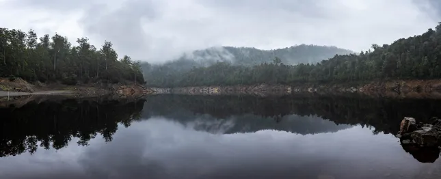
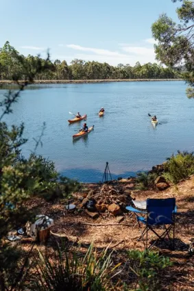
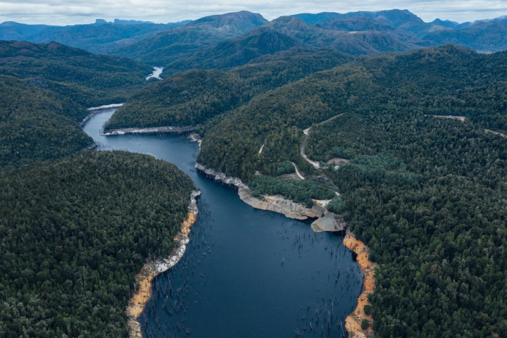
Through 2023 and 2024, Lake Meadowbank was drawn down between 2 and 6 metres, well below its usual level. This presented a good opportunity to survey the shoreline for Aboriginal sites, including stone artefacts and rock shelters, which are common in the surrounding hills and valleys.
In March 2024, a team of Hydro Tasmania archaeologists, Aboriginal Heritage Officers and field assistants from the Tasmanian Aboriginal Centre collaborated to undertake an extensive week-long survey.
This section of timtumili minanya (River Derwent) was intensively used by Aboriginal people over many thousands of years and holds many culturally significant sites. One such site, nirmena nala, a rock shelter containing a hand stencil, was returned to the Tasmanian Aboriginal people in 2013 as part of a Hydro Tasmania-initiated land handback.
The recent survey recorded 50 groups of shoreline artefacts, contributing further to the understanding of this culturally important area that was used extensively by Aboriginal people. These 50 groupings have been combined into 24 new Aboriginal Heritage Register listings.
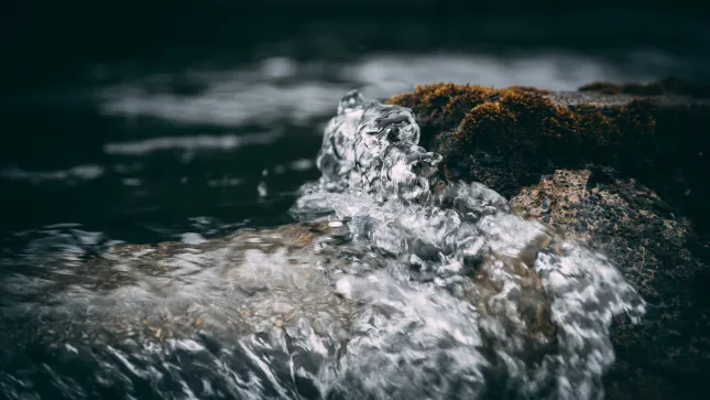
We recognise that fluctuating water levels from our operations can move artefacts from their original positions. We're currently undertaking research (at Lake Mackenzie in the Central Highlands) to better understand how high-water levels move artefacts around lake shores.
We'll look to support further information gathering at Lake Meadowbank in the future.
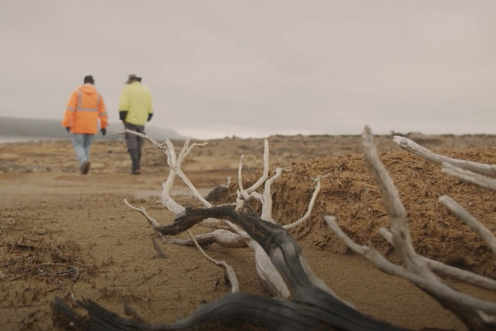
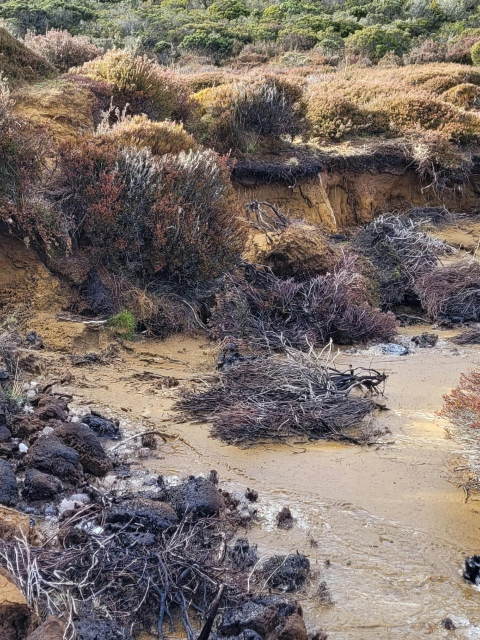
The land around present-day Lake Mackenzie, high on the Central Plateau, is known to be rich in Aboriginal heritage sites. In 2012, a low-water survey revealed 24 heritage sites. Most of the stone artefacts from these sites had been washed out and dispersed from the shoreline, however, one site contained in-situ cultural deposits.
Laser scanning and drone monitoring of this site highlighted it that it was actively eroding due to a combination of waves, frost and water seepage, resulting in artefacts being dispersed. A post-glacial sand bank at Lake Mackenzie that contains stone artefacts thought to be in their undisturbed location.
In consultation with Tasmanian Aboriginal people, a project has been co-developed to stop further erosion and rehabilitate the site.
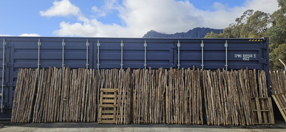
In 2025, Pakana Services began work on a 100-metre-long tea-tree wall to protect the sand bank from wave energy and assist dune drainage. Stakes for the wall were collected in May 2024 and sharpened. They dried out and hardened at our Gowrie Park workshop. During construction, additional tea-tree brush filler material with leaves and seed pods were collected and used to complete the wall. This method has been successfully used at coastal sites around Tasmania and forms part of the site's restoration plan, developed in collaboration with Wild Ecology and the consulting Aboriginal Heritage Officer. The tea-tree resource being used in the project was obtained through with cooperation of Sustainable Timber Tasmania and TasNetworks.
Once the wall was constructed, stone artefacts that were dispersed below the sand bank were returned to the site. This activity was led by the Aboriginal Heritage Officer and involved Tasmanian Aboriginal people.
At the same time, ‘simulated’ artefacts made from porcelain containing microchips are being laid out below the rehabilitated site and monitored to better understand the effect of changing lake levels on artefact dispersal.
Surveys have been completed and the draft assessment report is currently out with Aboriginal people and organisations for comment. In addition to considering physical heritage, the assessment also explored cultural landscape values and plants traditionally used for food, medicine and other cultural activities.
Find out more about what is happening with the Tarraleah redevelopment project now.
Bradys Lake in Tasmania's Central Plateau was created in the 1950s with the construction of Bradys Dam. In creating this new hydro storage, a large expanse of marsh was inundated. This site would have been an important hunting ground for Aboriginal people and the intersection point for three major roads through Big River Country.
In the next 2 - 4 years, Bradys Dam needs upgrading and this work will mean the water level is lowered and areas around the dam will be disturbed and potentially altered. In preparation, an Aboriginal Heritage Survey was completed in early 2024 while the lake was drawn down.
A small artefact scatter was discovered on a ridge on the south side of the valley, along with a mature stand of gum-top stringy bark trees that the Aboriginal Heritage Officer called out as being part of the traditional cultural landscape. Five artefact sites were also recorded on the main ridge line leading towards the original marsh.
These sites will be protected during works, with some subject to a permit to re-inundate once works are completed and lake levels can be raised.
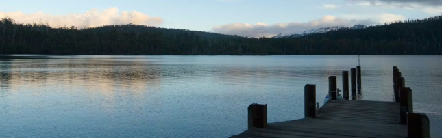
At the southern end of St Clair Lagoon, Hydro Tasmania operates a small control dam that helps regulate water flow into Timtumili Minanya/River Derwent. It has been in operation for 90 years, so in early 2026, we’re embarking on a project to replace the 8 radial gates that form this dam and overhaul the hoist system.
In preparation for the works, an Aboriginal heritage survey of the area was completed, revealing no heritage values.
Find out more about the project here.
As part of planning a proposed pumped hydro project at Cethana, we are working with locally based Aboriginal advisors to provide guidance and support and to facilitate culturally appropriate engagement protocols and processes. So far, we have had 2 on-Country visits, both designed and led by an Aboriginal advisor.
Get involved in rehabilitation works at Lake Mackenzie
We've been working with the community and ecological experts on rehabilitating erosion at Lake Mackenzie. The Aboriginal community will continue to play an important role in protecting the site’s cultural values.
Enjoy this article about the wonderful artwork 'Coast to Country' featured in Hydro Tasmania's Hobart office foyer, created by Bianca Templar, proud descendant of the Trawlwoolway and Plangermaireener people of Lutruwita.
Also discover more about our sponsorship of the Northern Tasmanian Football Association's Aboriginal Round.